Our Services
Topographic Surveys
The Topographic Study is the basis for any other engineering study and the first time work required for the implementation of any technical project.
The topographical diagram is a comprehensive study that includes the engineer's survey, ground measurements and clerical work. The diagram accurately reflects the current state of the property and its contents, the institutional framework that governs the property is applied (institutional lines, declarations, etc.) while its differentiation is done according to its upcoming use. Its drafting requires specialized knowledge in sciences such as Geodesy, Cartography and Urban Planning Legislation.


Land Register
The National Land Registry is a unified and constantly updated information system that records legal, technical and other additional information on real estate and rights over it.
Its compilation aims to create a modern, fully automated register of real estate, all of which have an evidentiary nature, ensuring the greatest possible publicity and security of transactions.
Electronic Building Identity (EBI)
The Electronic Building Identity (EID) or independent shared property (apartment, warehouse, parking space, etc.) is an electronic file that includes, from the date of construction until today, all the elements of the building - property.
The competent organization for the creation and storage of this electronic file is the Technical Chamber of Greece (TEE), which must immediately make the above information available to all interested parties, in order to be informed of any changes in ownership.


Road Construction Surveys
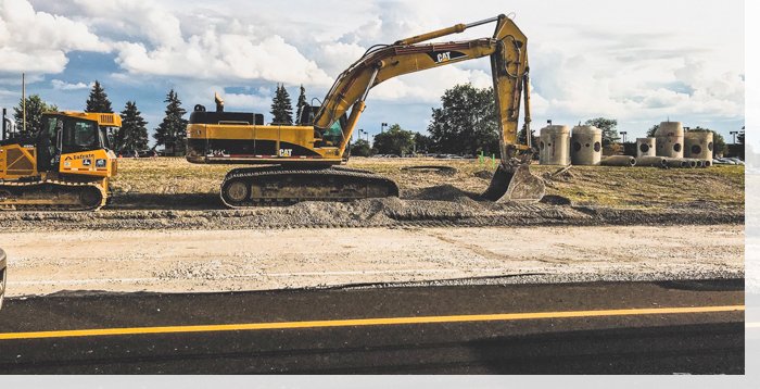
The Road Construction Studies follow the respective specifications in relation to the requirements of the project and the customers.
Our Office has the ability to prepare Road Construction Studies, both at the level of preliminary study and final study, while offering the following services in the relevant field:
Hydraulic Surveys
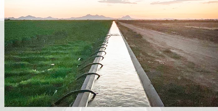
The studies of Hydraulic Projects are an important field of the Office, providing high-level services with care for the preservation of the natural environment, the protection of properties from severe weather phenomena, the rational management of water resources as well as finding the best technical and economic solutions.
VIEW MORE

Aerial Mapping - Aerial photography
The team undertakes photogrammetric surveying using drones to produce orthophoto maps and 3D renderings for various projects.
The flights are performed, either remotely controlled by the operator, or autonomously with computer flight planning. In any case, they are carried out under conditions of maximum security by certified (from the Civil Aviation Service) and experienced operators.
Mobile Telephony Antenna Installation Surveys
Our office has been systematically providing its services to mobile phone companies since 2003, having worked in various regions throughout Greece.
The mobile antenna installation study includes:


Support of Construction Sites & Technical Projects
We fully undertake the surveying work of a project from its initial stages to its completion.
Consulting services are also provided and accuracy checks are carried out during project monitoring, fully meeting the needs of a construction site. Our goal is to ensure the quality of construction and the smooth flow of each project.
Engineering Consulting Services
Our technical knowledge, combined with constant updating and many years of experience, enables our team to provide consulting services for issues related to public or private sector projects.
VIEW MORE
Contact us
Every new collaboration is a bet and a challenge for us. Let's make your project a reality together!